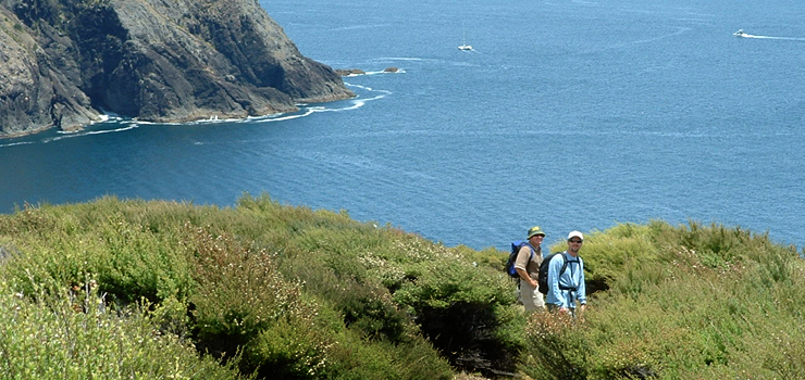
Our independent walk provides an option for walkers preferring to walk the track independently. We can assist with helping you with water transportation to ensure that your walk on the Cape Brett Track is a memorable and enjoyable experience.
Please note: Clients do require a good level of fitness to enjoy this itinerary.
A walking permit is required to walk the Cape Brett track. This can be purchased from the Kaingahoa Marae +64 9 4038415. The Marae requests that you check in at the office prior to your departure. Bookings can also be made at the Russell Information Centre +64 9 4038020 or info@russellinfo.co.nz
Water Taxi Transport
Contact - Bay of Islands Water Taxi +64 21 025 87021 or 0800 387 892 or alternatively Russell Information Centre on +64 9 4038020 info@russellinfo.co.nzHow To Get There
The track starts at Rawhiti, Bay of Islands. It is a 4-hour drive from Auckland. The coastal route turns off SH1 at Whakapara, which is 15 minutes north of Whangarei. This route is best used if you want to travel direct to Rawhiti (allow 1 hour from the turn-off). The alternative route continues to Kawakawa travelling towards the Bay of Islands. SH1 will continue through the Kawakawa Township. At the Kawakawa intersection continue ahead on SH11 heading towards Opua. The Fullers vehicle ferry service operates from Opua between 6.30am to 10.00pm daily. The turnoff towards Rawhiti after the car ferry is 4 kilometres towards Russell. The use of a relevant road map is recommended.Accommodation
Various ranges and styles of accommodation are available in Russell and Paihia. Accommodation at Rawhiti is possible at Kaingahoa Marae if you have a tent or camper van. Backpacker lodgings can be found on Airbnb or contact Kaingahoa Marae +64 9 4038415.Cape Brett Track
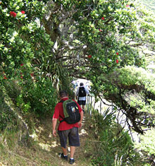
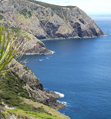
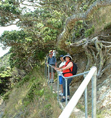
Cape Brett track begins at Oke Bay in Rawhiti and ends below the lighthouse at the seaward end of the Cape Brett peninsula. The Department of Conservation administers this house. The distance of the track is approximately 16.5 kilometres. At a comfortable pace this track takes 8-hours to complete. It crosses Te Rawhiti 3B2 Trust and DOC land and traverses over reasonably undulating and at times steep terrain up to a maximum height of 345 metres. There is 90% of bush cover, which is mainly secondary growth. The track is well marked and maintained.Cape Brett Hut
The hut accommodates 22 people and is administered by the Department of Conservastion (DOC) Book at Kaingahoa Marae +64 94038415 or Russell Information Centre +64 9 4038020 info@russellinfo.co.nz.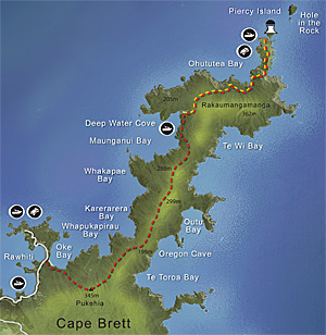
Fitness
Above average fitness is advisable. The track may not be suitable for persons under the age 10 years. Tramping boots are recommended.Weather
The track can be walked in all weatherand is open all year.

